The Library’s map collections incorporate huge quantities of data, and we have a number of projects underway to extract this information. One project we collaborated in has been the GB1900 gazetteer project.
This crowdsourcing project captured all the place names and written content from the Ordnance Survey six-inch to the mile maps of England, Scotland and Wales from a century ago (1888-1913).
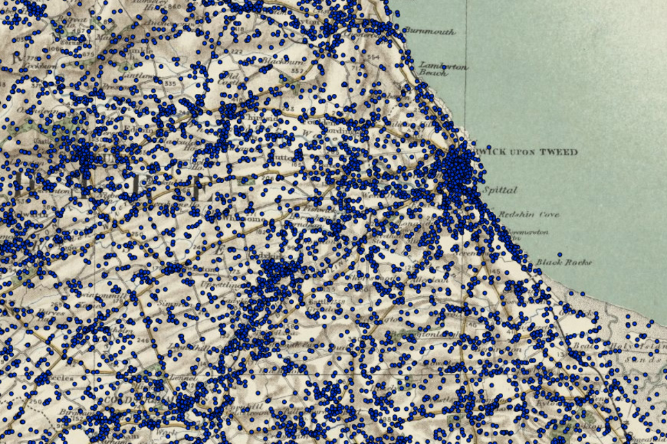
The resulting 2.5 million names is the largest ever historical gazetteer. The GB1900 names can also be viewed, and queried as a gazetteer in our Explore Georeferenced Maps viewer under the ‘Search OS six-inch1888-1913 names’. Demonstration distribution maps of GB1900 features such as quarries/collieries, footpaths and mills illustrate just a few of the potential opportunities with this gazetteer.
Related links
Ordnance Survey six-inch to the mile maps of England, Scotland and Wales
Explore Georeferenced Maps viewer
GB1900 dot distribution maps – including quarries/collieries and footpaths
Rights information

This collection is licensed CC0: no rights reserved.
Download the data
GB1900 gazetteer
Access the data through the Vision of Britain website.