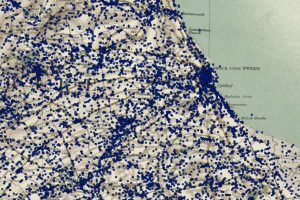
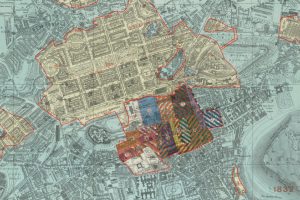
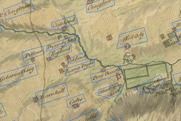
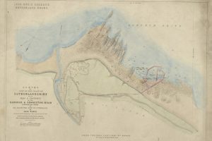
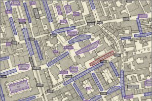
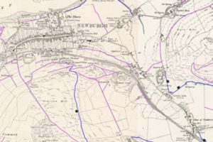
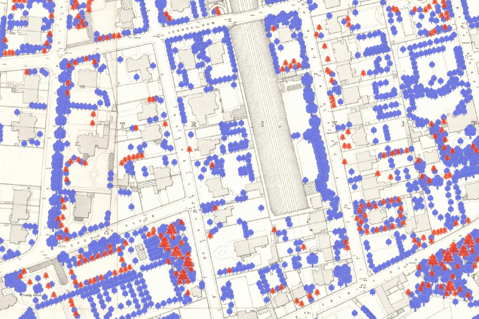
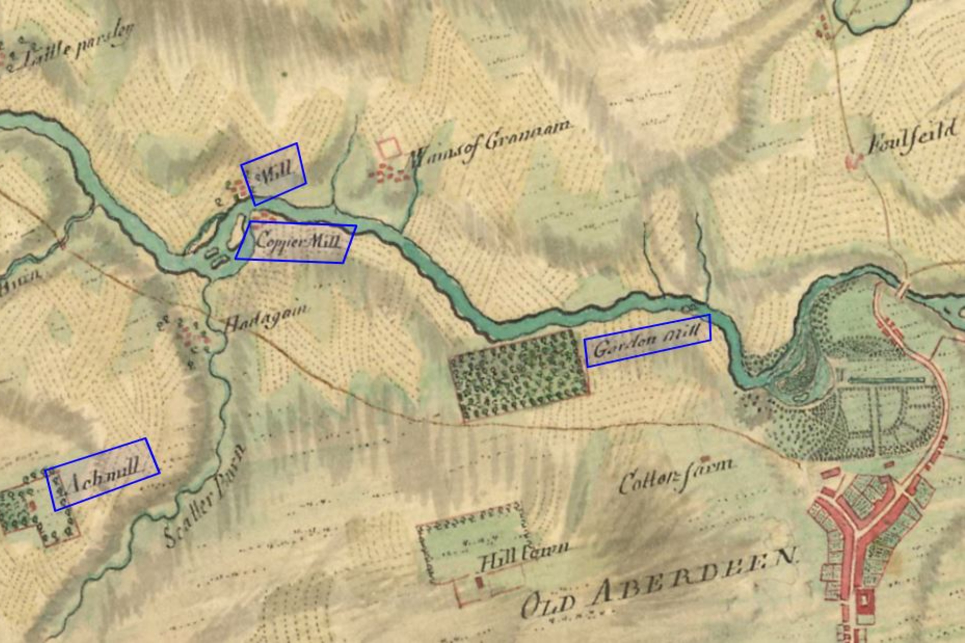
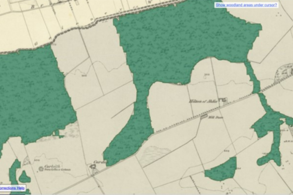
Explore map and spatial data from the collections. GB1900 gazetteer LiDAR point-cloud: National Library of Scotland George IV Bridge Edinburgh Boundaries Roy Gazetteer Stevenson Maps and Plans of Scotland Edinburgh OS 25 inch transcriptions Historic Footpaths Living with Machines: railspace and building datasets Urban Trees Mills of Britain Woodland in Scotland (1840s-1880s)