13 records
Available as MARCXML
Available as Dublin Core/XML
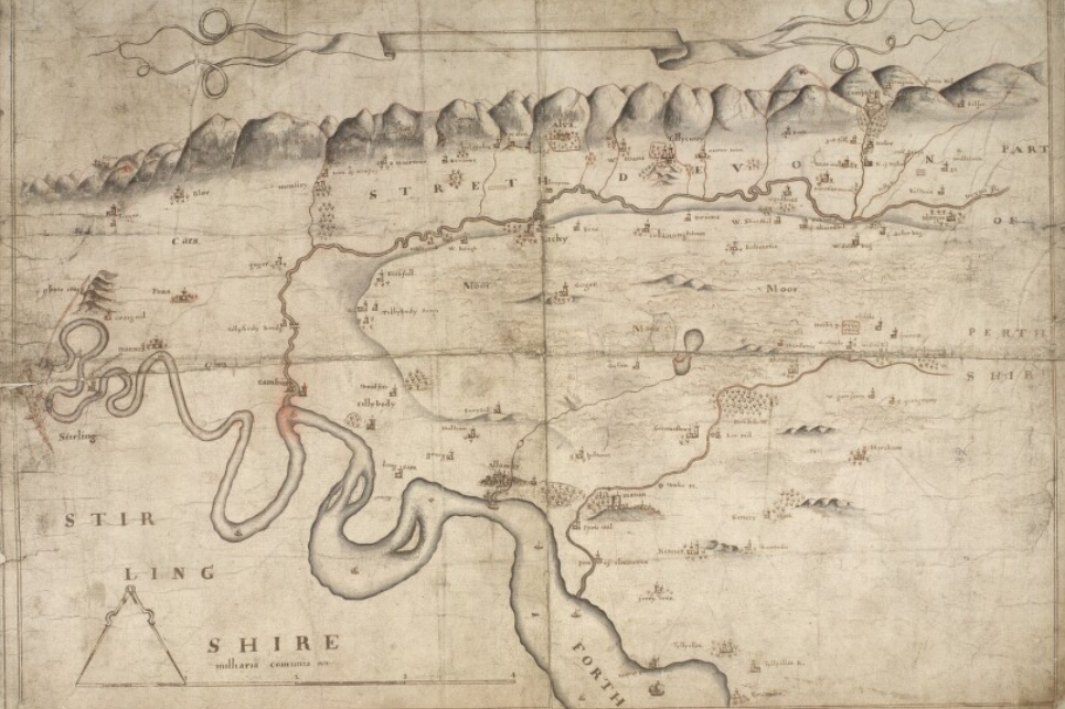
This dataset represents the complete descriptive metadata for John Adair – county maps.
This is a digitised collection of John Adair’s manuscript maps from his surveys of Scotland in the 1680s.
View the collection on the Maps website: John Adair – country maps 1868-1720
Rights information

This collection is free of known copyright restrictions. For details visit the Library’s copyright page.
Download the data
File contents: 1 readme file (plain text); 1 XML file in MARC format; 1 XML file in Dublin Core format.
File size: 3.86 KB compressed (57 KB uncompressed)