23 records
Available as MARCXML
Available as Dublin Core/XML
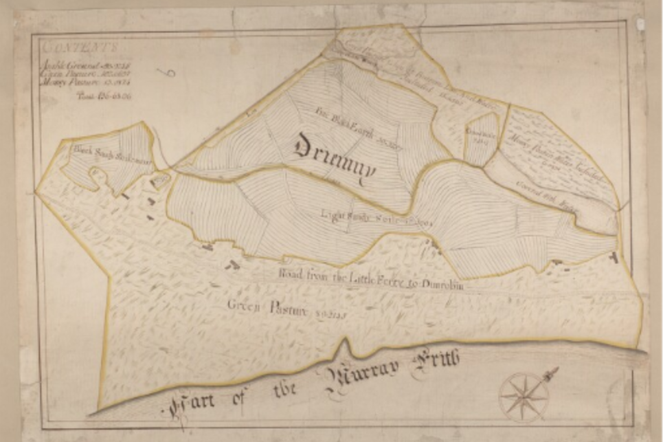
This dataset represents the complete descriptive metadata for John Kirk – Survey of farms in Golspie and Loth parishes, Sutherland, ca. 1772, a digitised collection of John Kirk’s attractive and detailed volumes of manuscript estate plans, covering the arable coastal strip from Golspie in the south, through Brora, to what became the fishing village of Helmsdale in the north.
For the Sutherland Estate owners, this included some of their richest arable land, as well as the home farm and policies around Dunrobin Castle.
Rights information

This collection is free of known copyright restrictions. For details visit the Library’s copyright page.
Download the data
File contents: 1 readme file (plain text); 2 XML files in MARC format; 2 XML files in Dublin Core format.
File size: 6.37 KB compressed (102 KB uncompressed)